Juyongguan Great Wall
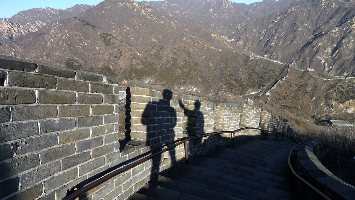
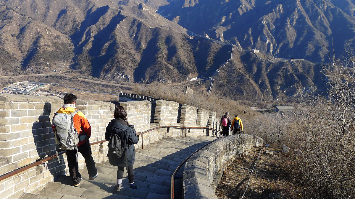
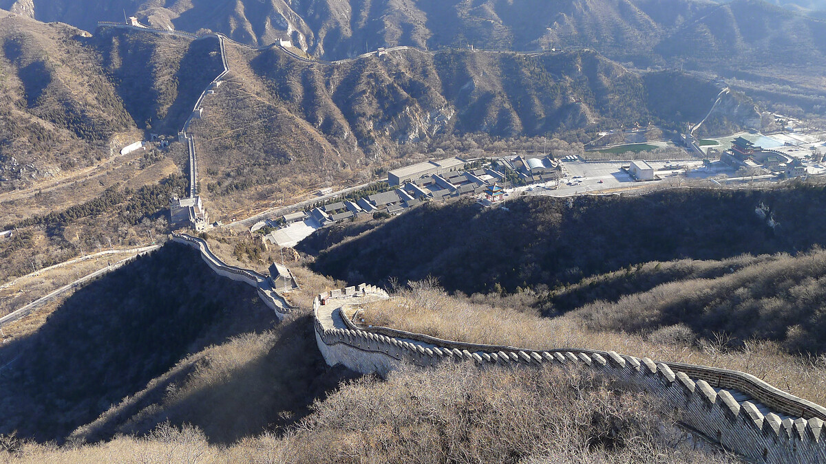
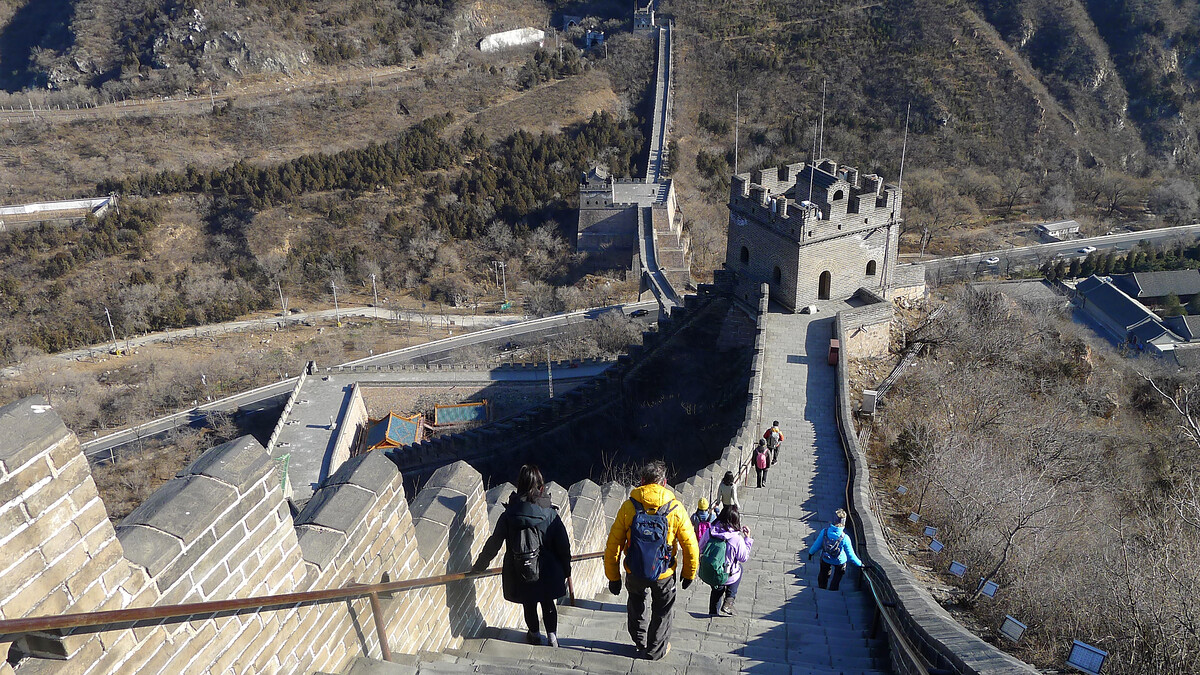
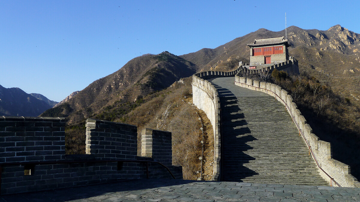
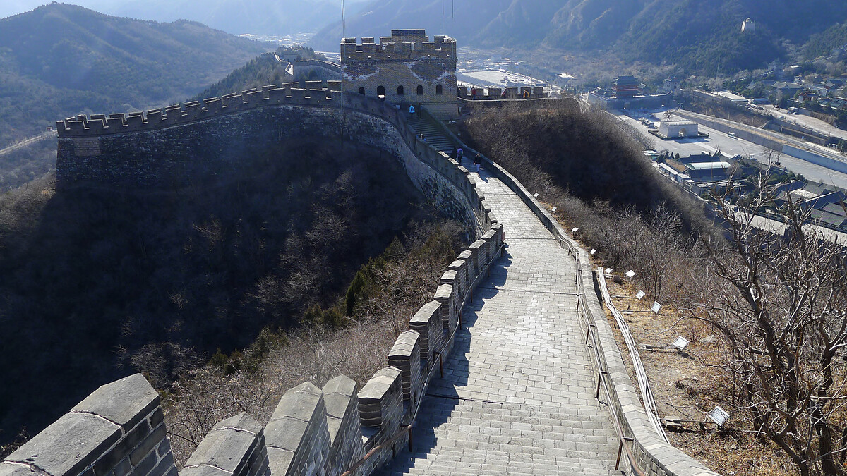
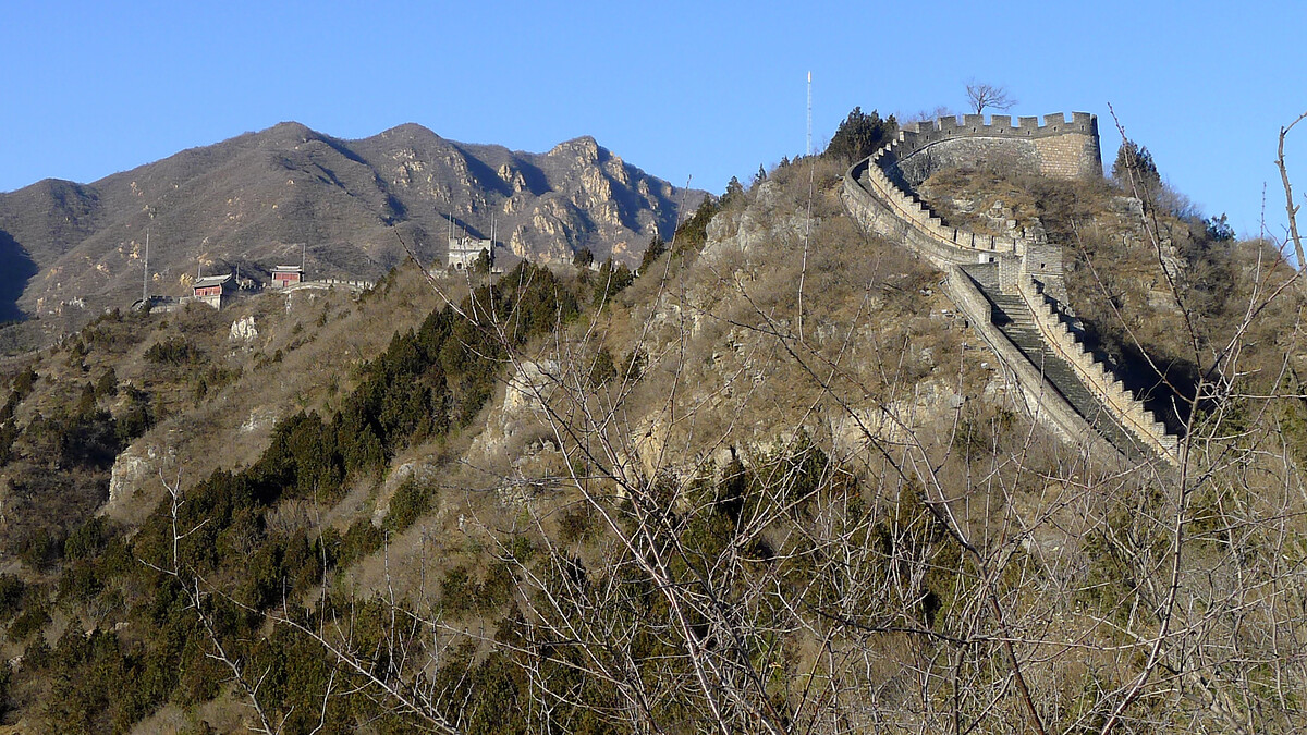
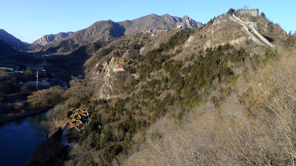
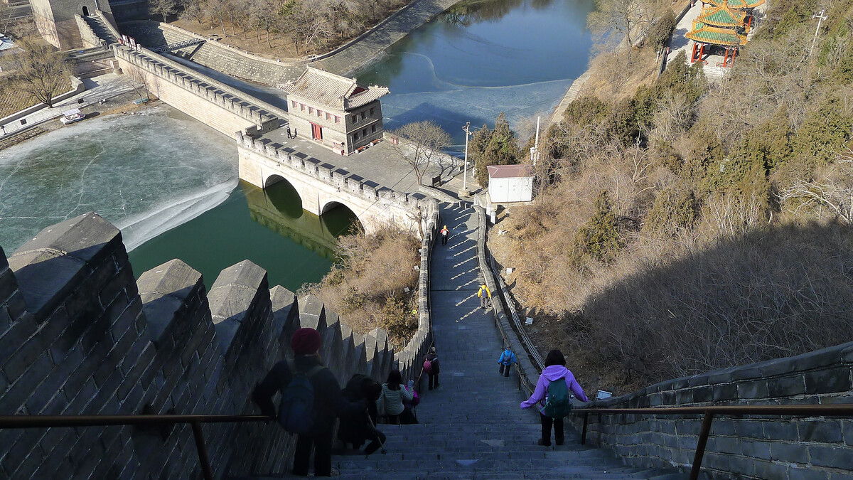
Photos from hikes around the loop of Great Wall at Juyongguan.

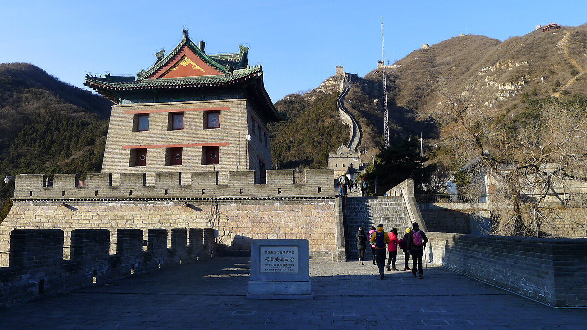
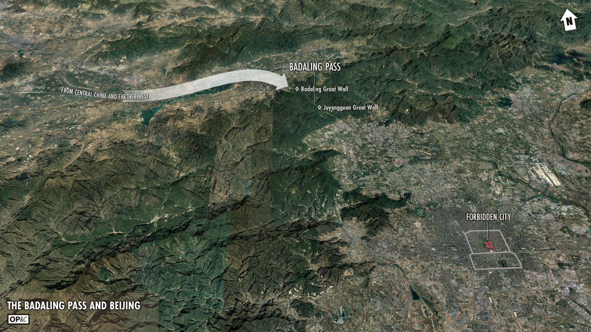
The Juyongguan Great Wall is the part of the Great Wall that’s closest to Beijing city—just 50km away from the Forbidden City, as the crow flies.
It’s also popular with tourists—just a short trip from the city, then a short walk from the carpark to get on to the wall, and the Yuan Dynasty-era Cloud Platform is right there, too.
I wrote this about Juyongguan for Beijing Hikers:
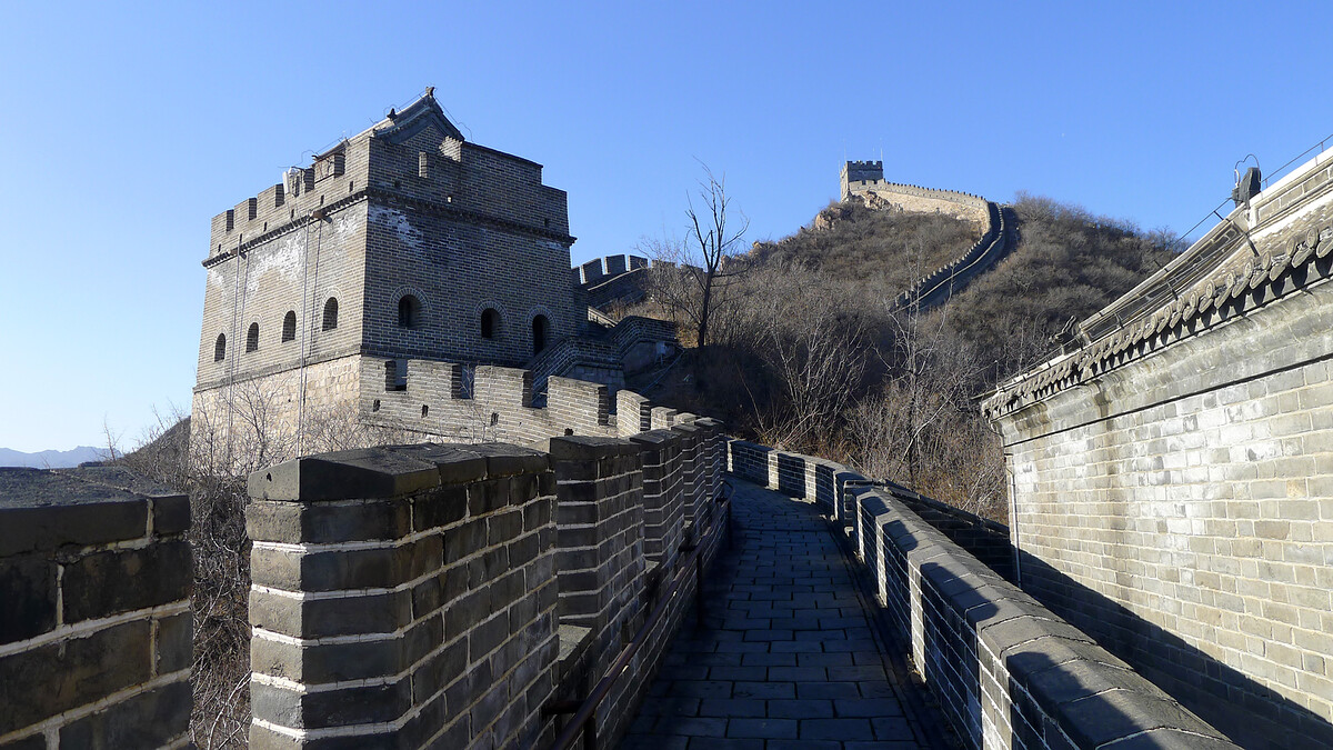
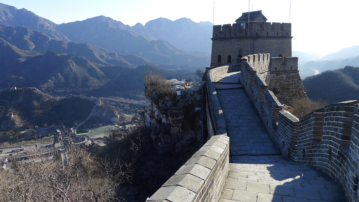
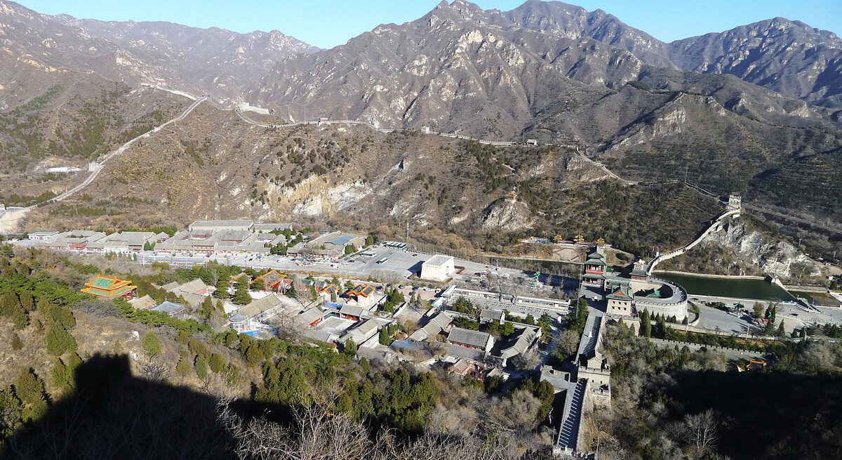
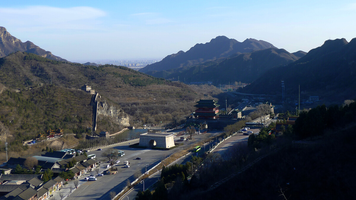
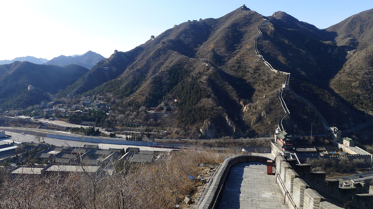
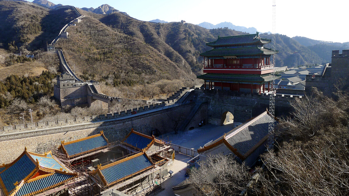
The Juyongguan Great Wall is a fortification at the southern end of the Badaling Pass. The Great Wall seen here today dates back to 1368, the first year of the Ming Dynasty, with the Cloud Platform kept over from the preceding Yuan Dynasty. The wall makes a circle in the mountains on either side of the pass, blocking the way through to Beijing.
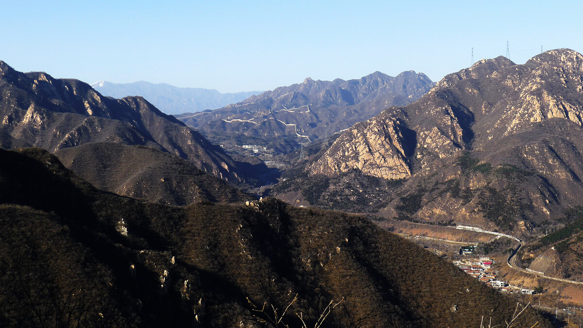
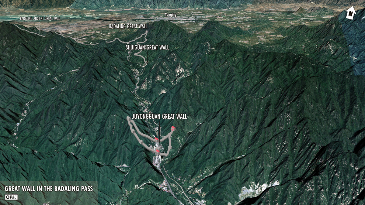
The Badaling Pass is one of the easiest routes through the mountains north of Beijing, and from Juyongguan it’s a flat 50km to the Forbidden City. The Great Wall here was one of the last lines of defence for the Ming Dynasty emperors.
Juyongguan is one of the three main Ming Dynasty fortified passes (AKA guān / 关); the other two being Jiayuguan (in the far west) and Shanhaiguan (where the Great Wall meets the sea).
There were defence works at Juyongguan well before the Ming Dynasty, though. Other states and dynasties also located their capital roughly where Beijing is nowadays.
One of those dynasties was the Yuan (1271-1368), who had their winter capital (called Dadu/Khanbaliq) right in the middle of where Beijing is now. Yuan Dynasty emperors would pass through Juyongguan on the way to Shangdu (AKA Xanadu), which was their summer capital.
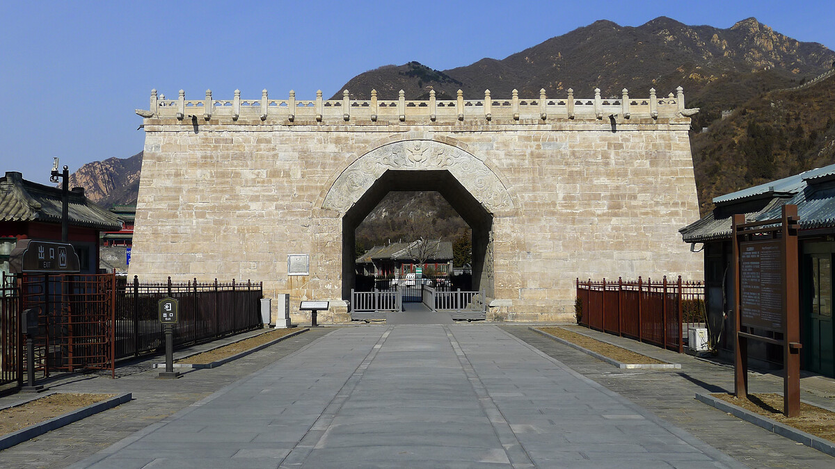
Aside from the Great Wall, the other main thing to see at Juyongguan is the Cloud Platform, which was built near the end of the Yuan Dynasty.
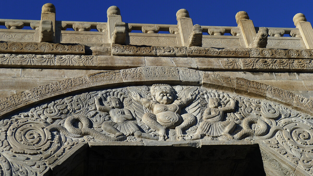
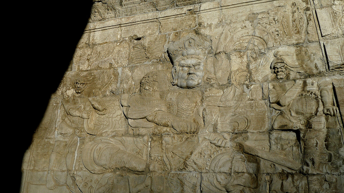
The Cloud Platform looks like a huge gate, but it was actually a base for several stupas and was part of a temple. The platform has a white marble exterior and is covered with Buddhist carvings and inscriptions in six different languages.
Juyongguan Great Wall and Shuiguan Great Wall (www.beijinghikers.com)
If you visit Juyongguan at the wrong time (i.e., most of the time), you’ll find it crowded with tourists.
But if you visit at the right time, you might find it mostly empty.
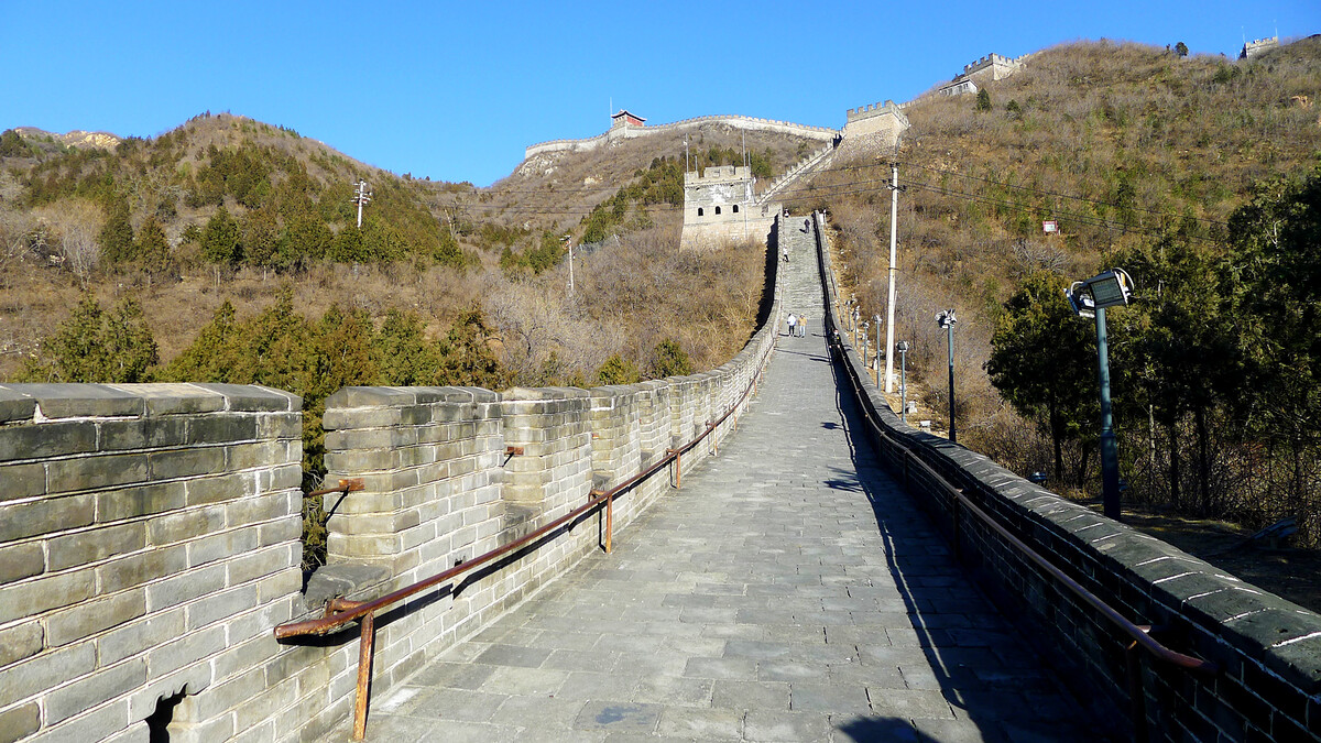
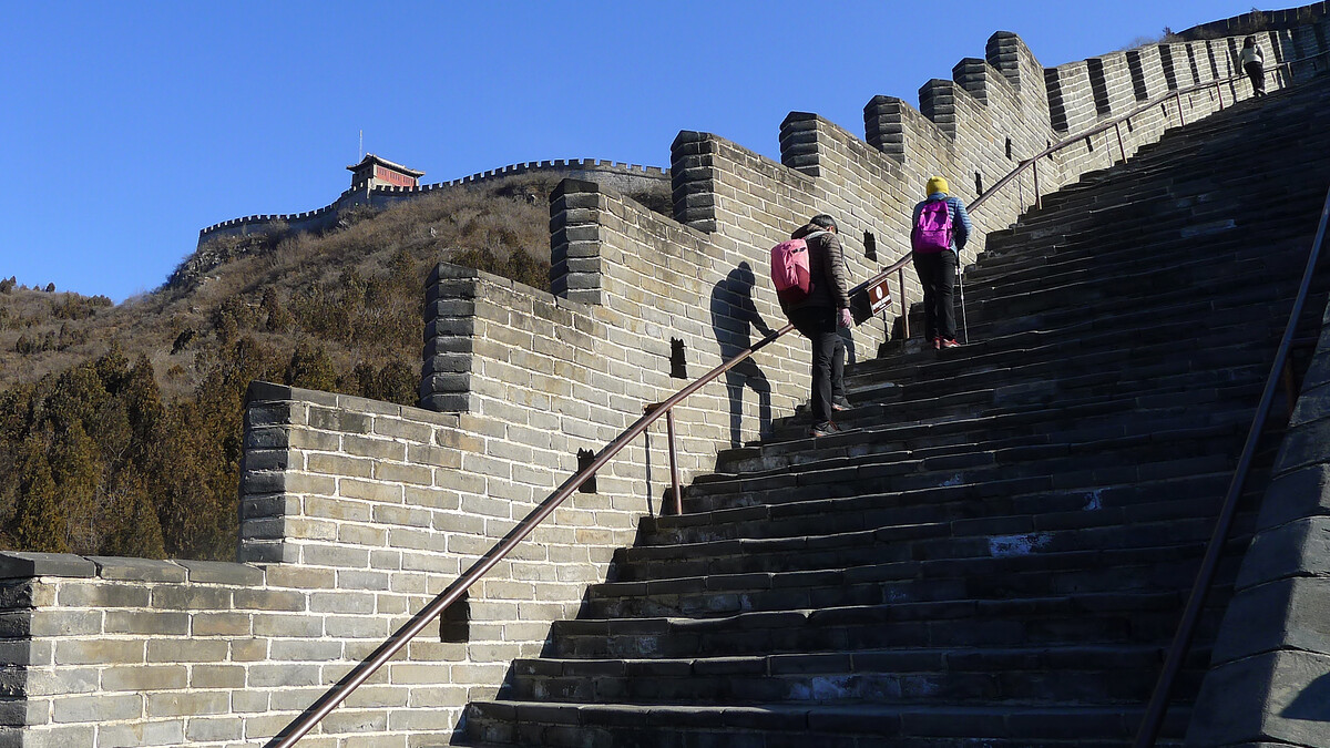
The photos below are from two visits, in December 2021 and January 2022. These two trips counted as visits at the right time—the restrictions on entry to Beijing in the lead up to the Winter Olympics meant that there were barely any domestic tourists coming into Beijing, and the cold weather meant most of the Beijingers were staying home as well.
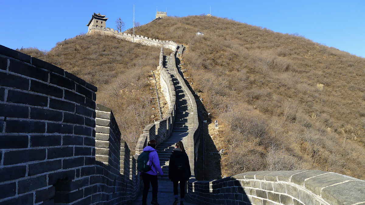
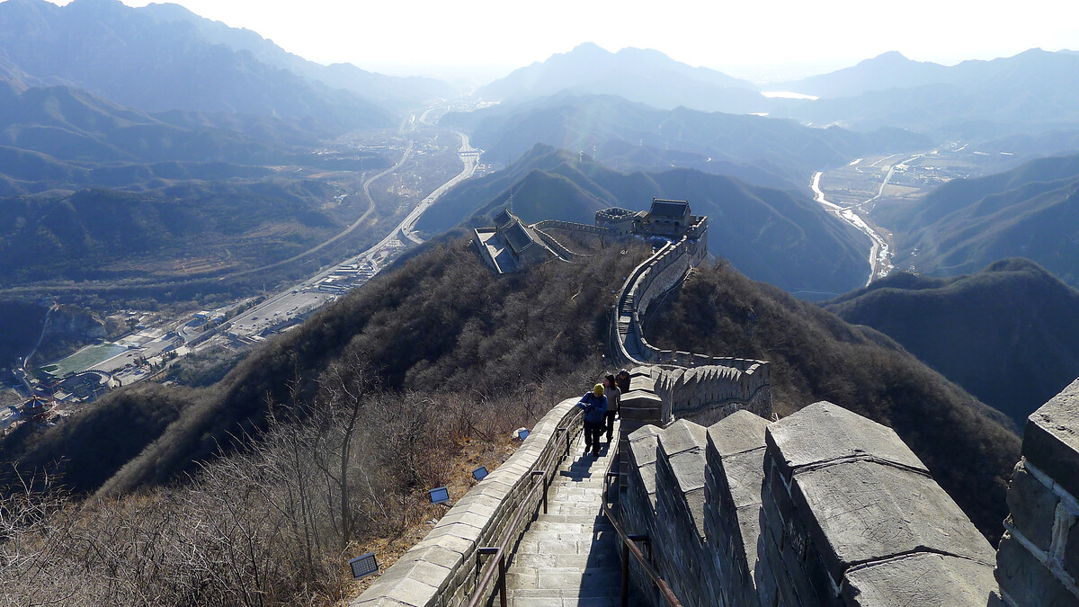
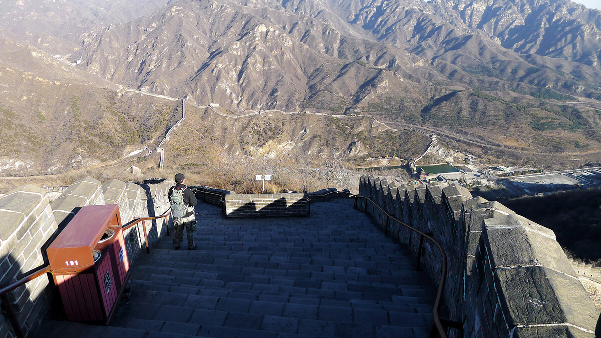
Hiking the full loop of Great Wall here is actually decent exercise, especially the steep stairs on the way up to the highest point on the west side. The full loop is nearly 7km, with 497m ascent/descent and a peak that’s 785m above sea level. Pro-tip: start the loop on the southern end and go clockwise. It’s not quite as steep going up that way.
Leica D-LUX 5 for the photos.
Juyongguan West Side

Juyongguan East Side
In the middle
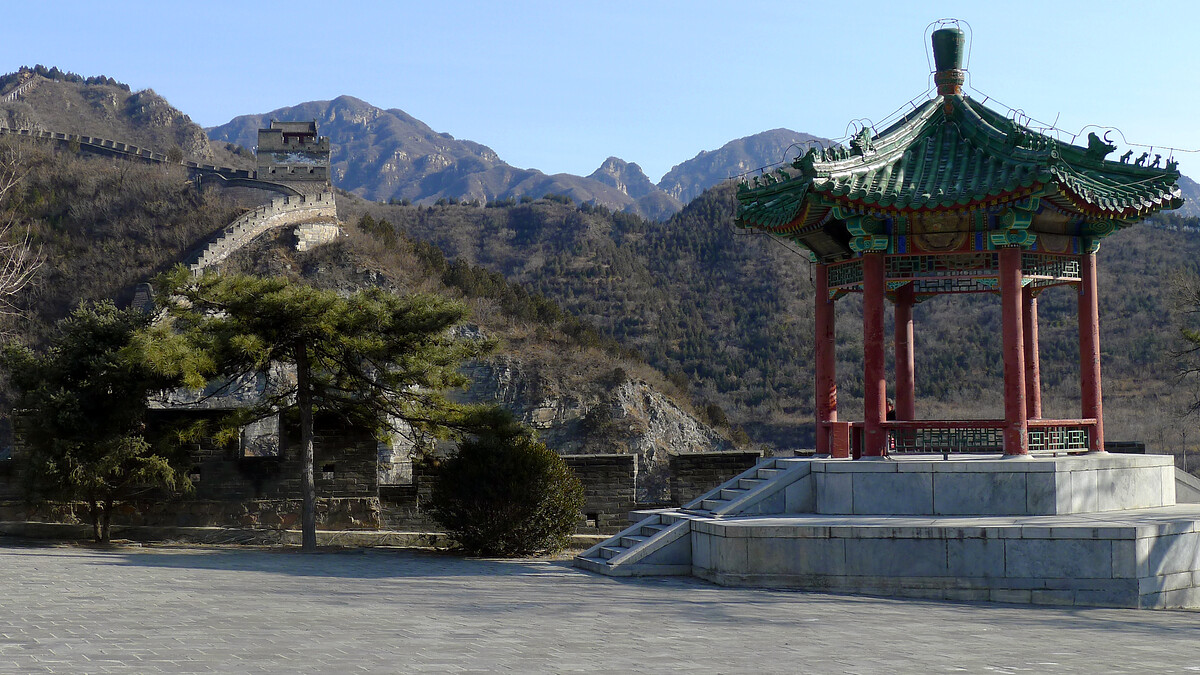
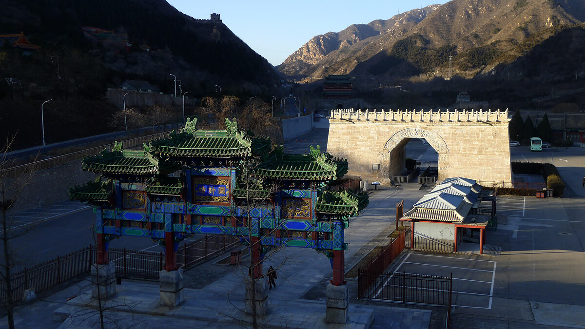
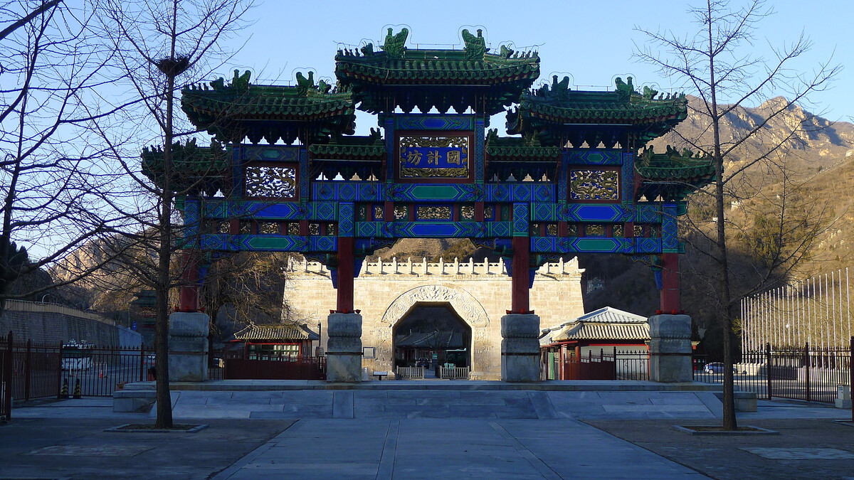
The Great Wall here makes a circle in the hills to block the way through the pass in the mountains. At the north and south ends there are gates and courtyards; in the middle is the Cloud Platform, plus ornamental arches, temples, and other buildings. (And a carpark.)

Maps
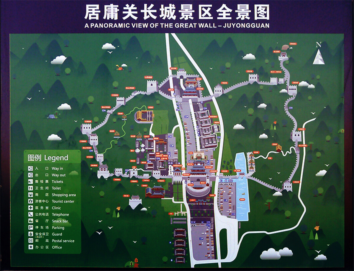
Juyongguan Great Wall
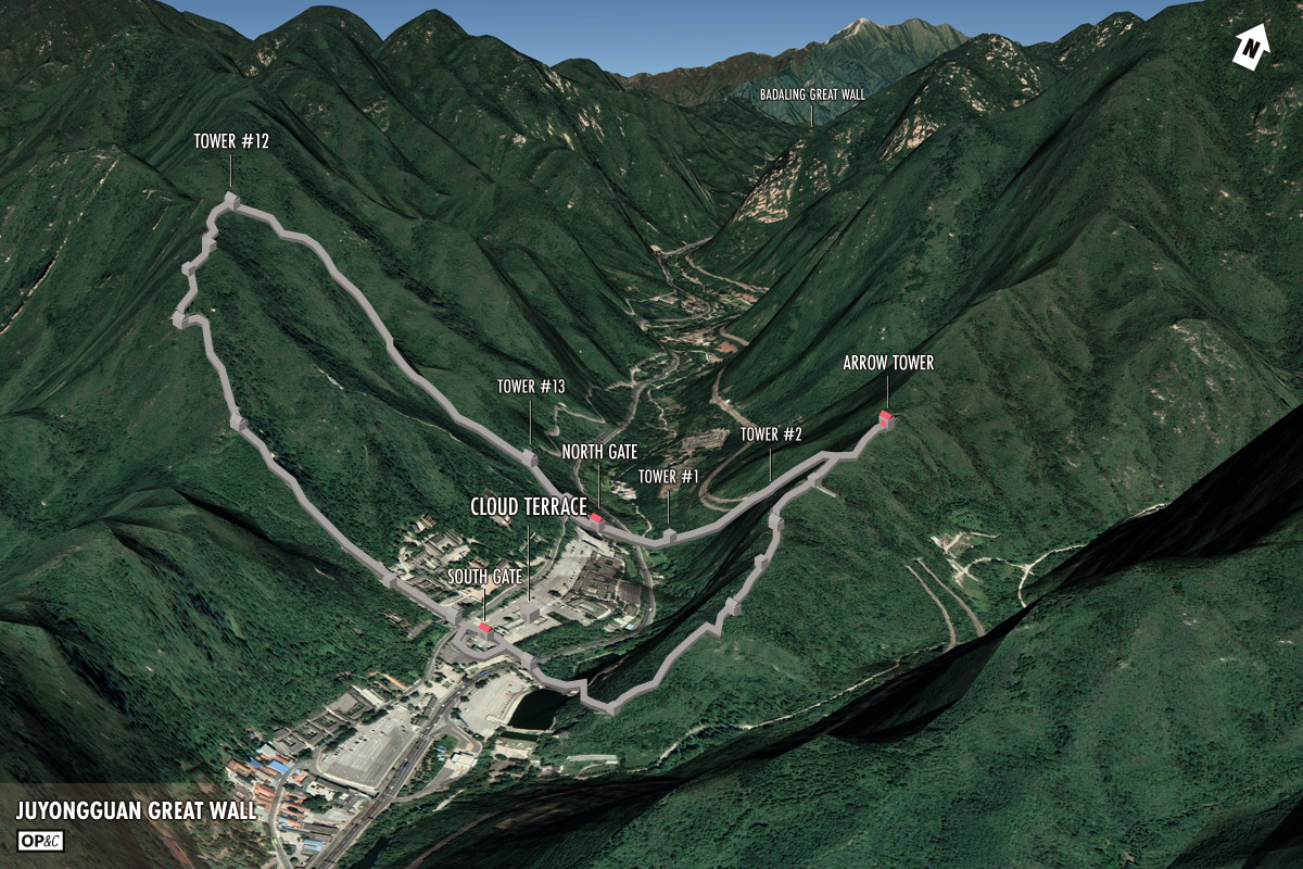
Great Wall in the Badaling Pass
The Badaling Pass and Beijing
Notes
Beijing Hikers occasionally does a hike here called Juyongguan Great Wall and Shuiguan Great Wall.
Juyongguan
Jūyōngguān / 居庸关 / Juyong Pass
Juyongguan info on Wikipedia
Juyongguan info on Baidu (Chinese language)
Juyongguan Cloud Platform
Jūyōngguān Yúntái / 居庸关云台 / Juyong Pass Cloud Platform
